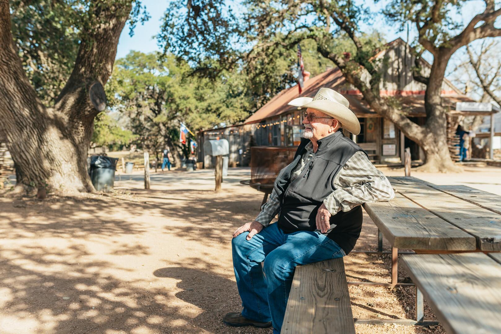
Where Is the Texas Hill Country?
It is the question the region invites, because nobody ever drew its border. The short answer: the hilly limestone country of Central Texas, west of Austin and northwest of San Antonio, where springs feed cypress rivers and German-founded towns sit 25 to 90 miles from downtown. The long answer — counties, landscapes and real distances — is this guide.
- Roughly 25 counties
- 25–90 miles from Austin
- Counties, springs and drive times
Ask ten Texans where the Hill Country starts and you will get eleven answers, all delivered with conviction. This guide uses the definition the state's own sources support — the parks department's Edwards Plateau description, the historical association's county lists, the federal wine region's mapped boundary — and then does what those sources do not: tells you exactly how far each piece of it is from Austin.
Where it sits
The Texas Hill Country is the name Texans give to the hilly heart of the state — the southern edge of the Edwards Plateau, rolling up from the coastal plain west of Austin and north of San Antonio. The state's parks department describes the region plainly: a land of many springs, stony hills and steep canyons, all underlain by limestone. Its eastern and southern rim is the Balcones Escarpment, the fault line where the plains break into hills, and most of the country sits between 1,400 and 2,200 feet above sea level.
On a map, think of a rough triangle: Austin at the northeast corner, San Antonio at the southeast, and the high, quiet country around Fredericksburg and Kerrville filling the west. Two-thirds of the region sits within a tank of gas of downtown Austin — which is exactly why it became the city's day-trip backyard.
The counties
No office draws the border, because the name is a popular one rather than an official one. The Texas State Historical Association describes a vernacular region of roughly 25 counties, the state's heritage-trail program groups 19 of them, and the federal government's wine-growing definition of "Texas Hill Country" covers parts of 23 counties, from Williamson on the Austin edge out to Kimble and Edwards in the west.
The core, by common use: Gillespie (Fredericksburg and Luckenbach), Kerr, Blanco, Kendall, Llano, Mason, Hays (Wimberley and Dripping Springs), Comal (New Braunfels and Gruene) and Burnet, with Travis itself at the eastern door. If a county has a German-named town, a limestone swimming hole or a winery road, you are in it.
The landscape
Limestone is the whole story. The hills are layered rock, the springs come straight out of it — Jacob's Well near Wimberley and the great Comal Springs at New Braunfels among them — and the rivers run clear and green between banks of bald cypress. The same stone feeds the Edwards Aquifer beneath and the peach and grape country above, which is how a German-settled ranching region turned into wine country within a century.
The German part is not decoration. Settlers sponsored by the Adelsverein arrived in the 1840s and stamped their language, stone architecture and town planning on Fredericksburg, New Braunfels and the farm country between — Gillespie County was still 86 percent German in 1870. The dance halls, sausage and Oktoberfests you will run into out here are not theme-park Texas. They are the neighbors' heritage.
Wildflower seasons complete the picture: the bluebonnet, the state flower since 1901, blooms across the region's limestone in late March and early April, and the state highway department sows some 30,000 pounds of wildflower seed a year to keep the roadsides painted.
How far from Austin
The mileages below are the official-record figures — town entries in the Handbook of Texas, the parks department and the National Park Service — and they describe where each place sits rather than exact odometer readings. Where no single official figure exists, the table gives an approximate drive time instead of arithmetic. Either way, plan for the roads themselves: these are two-lane corridors with rivers to cross.
| Destination | From Austin | The basis |
|---|---|---|
| Dripping Springs | 25 miles west (US 290) | Texas State Historical Association |
| San Marcos | 25 miles south (I-35) | Texas State Historical Association |
| Pedernales Falls State Park | 30 miles west | Texas Parks and Wildlife |
| Wimberley | 40 miles southwest | Texas State Historical Association |
| New Braunfels and Gruene | 45 miles southwest | Texas State Historical Association |
| Burnet | 48 miles northwest | Texas State Historical Association |
| Johnson City | 50 miles west | National Park Service |
| Marble Falls | about an hour's drive northwest | Approximate drive time |
| Fredericksburg | 70 miles west | Texas State Historical Association |
| Luckenbach | about 80 minutes west | Approximate drive time |
| San Antonio | 80 miles south | Travel-planning mileage |
| Enchanted Rock | about an hour and three quarters west | Approximate drive time |
Do you need a car?
To explore on your own, yes — the region's charm lives down farm roads with no bus service, and its two most famous state parks limit daily entries. That is the case for the car, and our road trip guide is written for drivers.
But a car is not the only way, and for the region's two signature experiences — wine tasting and pit-barbecue lunches — it is arguably the wrong one. The wine shuttles and ranch days compared on our Hill Country tours page run out of downtown Austin with a professional driver at the wheel, which is how you taste at every stop and still get home safely. Plenty of visitors split the difference: a tour day for the wineries, a rental day for the towns.
See it the easy way
The region's tours run the same roads this guide describes, out of downtown Austin, with a driver who knows them. Compare the wine shuttles, the ranch day and the private options — prices, stops and what each ticket includes.
Compare Hill Country ToursWhere these facts come from
- Texas Parks and Wildlife — Edwards Plateau ecoregion and the Enchanted Rock and Pedernales Falls park pages.
- Texas State Historical Association, Handbook of Texas — the Hill Country entry and the town entries behind each mileage figure.
- Federal wine-region boundary — 27 CFR § 9.136, Texas Hill Country viticultural area.
- National Park Service — Lyndon B. Johnson National Historical Park.
All sources retrieved 6 October 2026. Official mileages are single-source figures describing location, not odometer readings. Entries marked 'about' are approximate drive times, not official numbers.